Oisans mountain passes · Cycling
Col du Galibier
The long south-facing slope from Briançon, via Le Monêtier-les-Bains and the Col du Lautaret.
Choose your side
Slope shown below.
Live weather
Real-time · Open-Meteo. The mountain top weather often differs from the valley.
Profile of the climb — Briançon
Calculated from our GPX track (IGN altitude). Segments coloured according to the gradient.
Gradient kilometre by kilometre view details
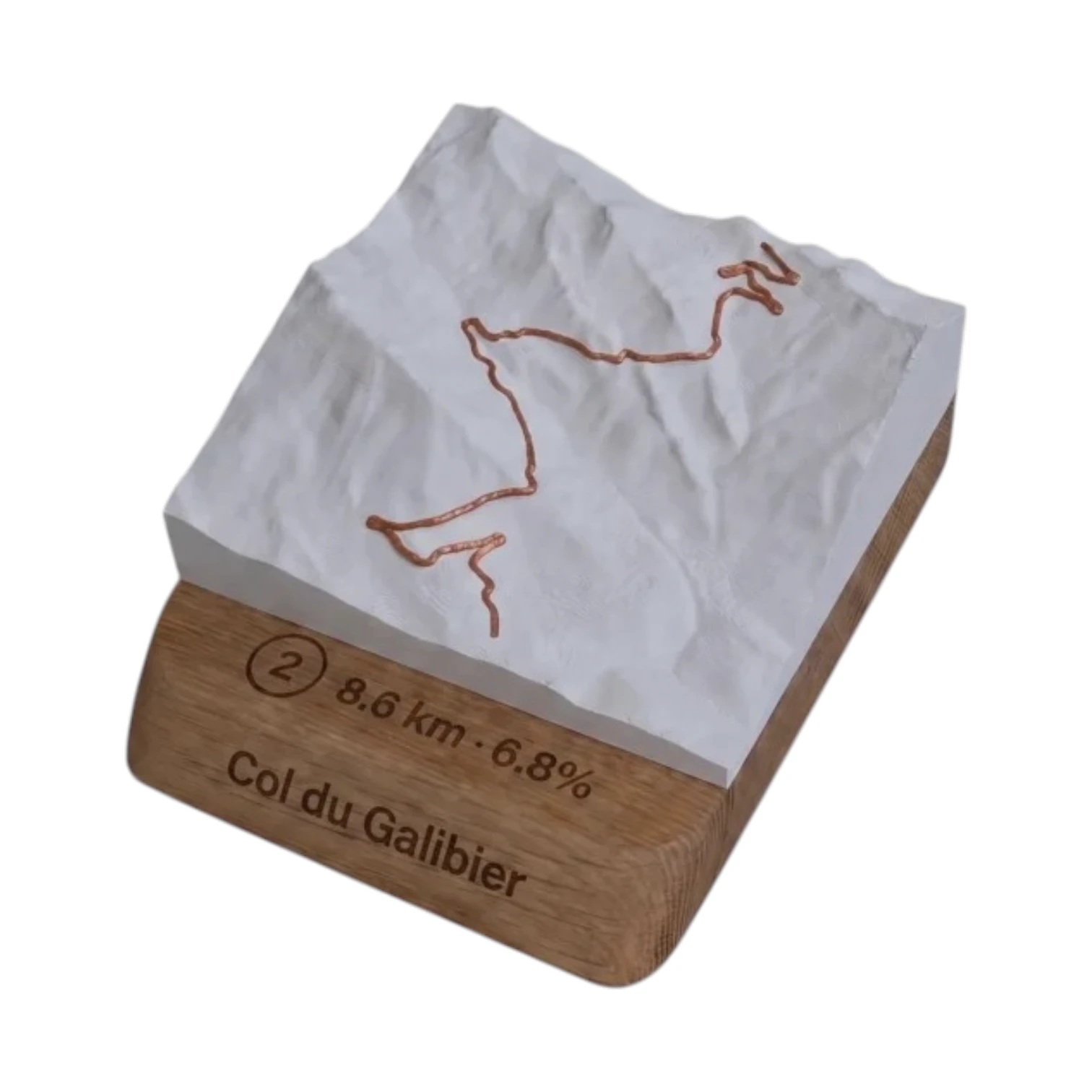 Did you climb it? Take it home. 🏆
Your exact-scale 3D relief map — Col du Galibier engraved on an oak base, customisable with your name and your time.
From 49,90 €
View 3D map →
How long does it take to go up?
Estimate based on your power-to-weight ratio (physical model, validated against real times). Indicative only.
Cycling the Col du Galibier from Briançon
It is south face, the longest but the most consistent: since Briançon, we head up the valley of the Guisane via Le Monêtier-les-Bains up to Col du Lautaret (2,058 m), before the final ramp of Col du Galibier. In total 36.1 km and 1,352 m of elevation gain at an average gradient of 3.6 % up to the summit at 2,642 m. A rolling slope, perfect for climbers who like to keep their legs moving.
Difficulty
The long climb up the Guisane is gentle and steady: you climb smoothly all the way to the Lautaret. All the difficulty is concentrated in the last 8 kilometres, between the Lautaret and the summit, where the slope reaches 11 % above 2,000 m altitude. Watch out for vent, often present in the Guisane valley as well as at the summit.
The shift towards the Oisans
From Briançon, cross the Galibier open the door of the’Oisans via the Lautaret and then the descent down the Romanche, you reach La Grave, Lake Chambon and Bourg-d'Oisans, at the foot of Alpe d’Huez and the Croix de Fer. It is one of the great Alpine cycling routes.
Frequently asked questions
Which is the easiest side of the Galibier?
From Briançon: 3,6 % average speed over 36.1 km. It is the longest but the most consistent, only the last 8 kilometres are really hard.
Which way does the climb from Briançon go?
Through the valley of the Guisane (Le Monêtier-les-Bains) as far as Col du Lautaret, and then the final climb of the Galibier.
What is the altitude of the summit?
2,642 m, one of the highest paved mountain passes in Europe.
Neighbouring cols — Romanche, Lautaret & Écrins
Route © OpenStreetMap contributors · Altitude © IGN RGE ALTI · Max gradient over 100 m : climbfinder.