Oisans mountain passes · Cycling
Col du Lautaret
The gentle and regular southern slope, via the Guisane valley and Le Monêtier-les-Bains.
Choose your side
Slope shown below.
Live weather
Real-time · Open-Meteo. The mountain top weather often differs from the valley.
Profile of the climb — Briançon
Calculated from our GPX track (IGN altitude). Segments coloured according to the gradient.
Gradient kilometre by kilometre view details
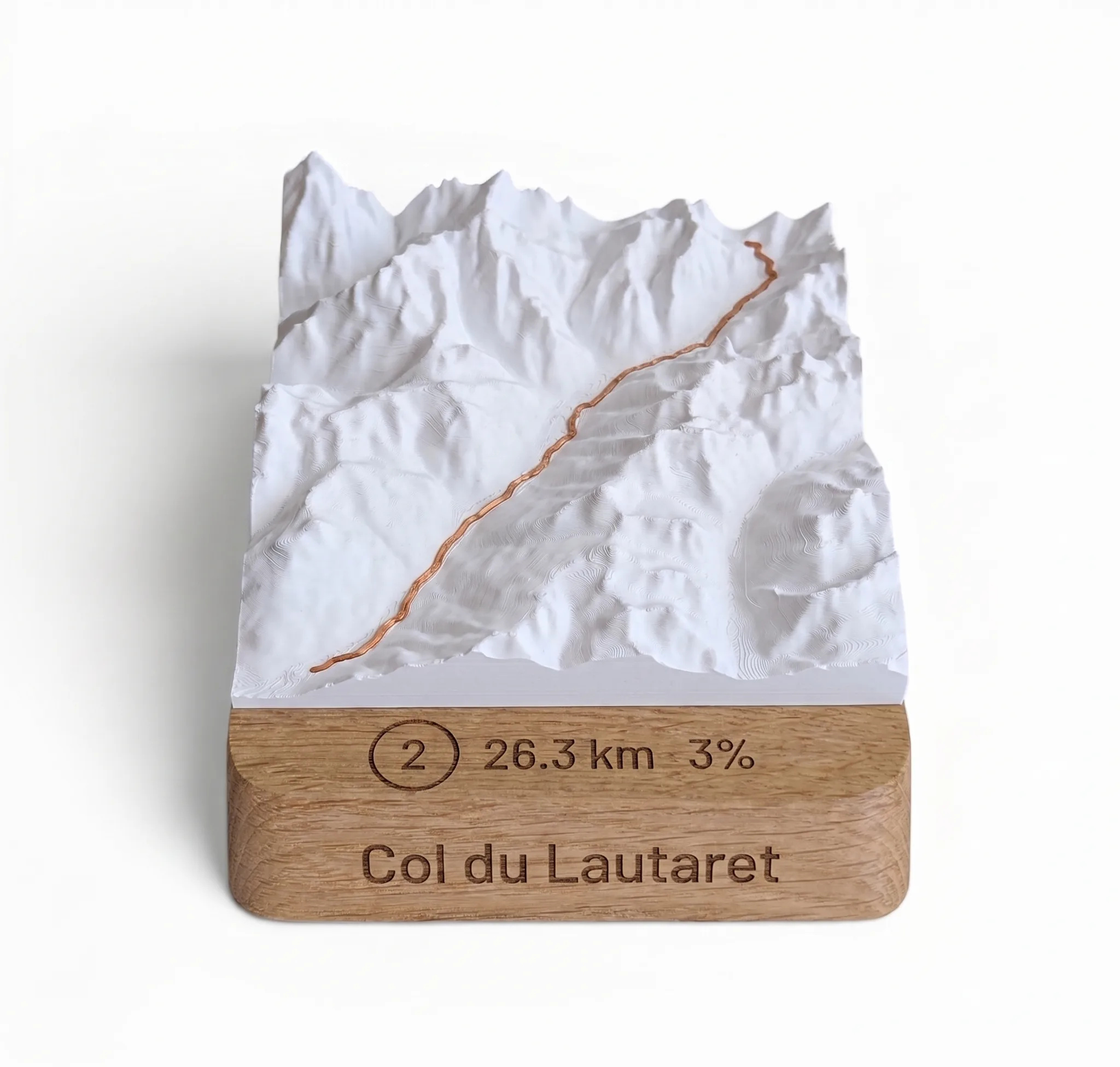 Did you climb it? Take it home. 🏆
Your exact-scale 3D relief map — Col du Lautaret engraved on an oak base, customisable with your name and your time.
From 49,90 €
View 3D map →
How long does it take to go up?
Estimate based on your power-to-weight ratio (physical model, validated against real times). Indicative only.
Cycling the Col du Lautaret from Briançon
This is the most slope soft you Col du Lautaret (2,058 m): from Briançon, we go back up the valley Guisane via Le Monêtier-les-Bains and the Serre Chevalier resort. In total 27.7 km and only 771 m of elevation gain Average gradient of 2.7% over 3T: a gentle climb, perfect for warming up or for reaching the Oisans via the pass.
Difficulty
The gradient is gentle and constant (never more than 7,5 %) : you climb almost without realising it along the Guisane. The only real constraint is the vent, common in this wide valley, and the altitude of the summit. The road surface is excellent: it is an ideal climb for all levels.
The gateway to the Oisans and the Galibier
From Briançon, cross the Lautaret opens up two large playgrounds: you can switch to the Romanche and head down towards La Grave, Le Chambon and Bourg-d'Oisans, or fork at the top towards the Col du Galibier. An essential crossroads of the Route des Grandes Alpes, with its alpine botanical garden at the summit.
Frequently asked questions
What is the length of the Lautaret from Briançon?
27.7 km for only 771 m elevation gain, averaging 2.7 %: the easiest slope.
Is this a beginner's climb?
Yes, the very gentle gradient (2.7 %) makes it accessible to everyone: the main challenge is the distance and the wind from the Guisane.
What is the altitude of the pass?
The peak reaches a height of 2,058 m.
Neighbouring cols — Romanche, Lautaret & Écrins
Route © OpenStreetMap contributors · Altitude © IGN RGE ALTI · Max gradient over 100 m : climbfinder.