Oisans mountain passes · Cycling
Col de la Croix de Fer
The short, steep slope, the final zig-zags up to the pass.
Choose your side
Slope shown below.
Live weather
Real-time · Open-Meteo. The mountain top weather often differs from the valley.
Profile of the climb — Saint-Sorlin-d’Arves
Calculated from our GPX track (IGN altitude). Segments coloured according to the gradient.
Gradient kilometre by kilometre view details
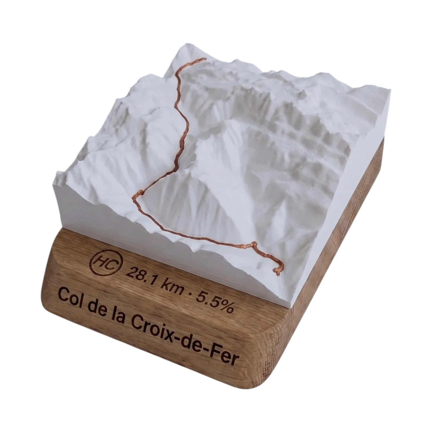 Did you climb it? Take it home. 🏆
Your true-to-scale 3D relief map — the Col de la Croix de Fer engraved on an oak plinth, customisable with your name and your time.
From 49,90 €
View 3D map →
How long does it take to go up?
Estimate based on your power-to-weight ratio (physical model, validated against real times). Indicative only.
The Col de la Croix de Fer from Saint-Sorlin-d’Arves
The short slope starts from Saint-Sorlin-d'Arves (1,531 m): 6.4 km and 533 m of elevation gain à 8.4, average of %. After the village, the road winds its way through a series of beautiful hairpin bends at 9–11 % through the mountain pastures, before the final few hectometres up to the summit at 2,067 m and its famous wrought-iron cross. This is the shortest route, but also the steepest on average.
Difficulty
Short but intense: the gradient never really lets up and climbs all the way to 11 %. Ideal for finishing a loop in the Maurienne or for a quick link-up. The high altitude and sun exposure of the mountain pastures can make the effort harder than it seems on paper: take plenty of water, as there is little shade.
Croix de Fer and Glandon, two cols in one
The top of the Cross of Iron is only a short walk away 2.5 km you Col du Glandon the two mountain passes are almost always climbed together. From Saint-Sorlin-d’Arves, you can cross over to the Glandon and then plunge down towards the valley, or head back towards Saint-Jean-de-Maurienne. An unmissable area of The Marmotte and of Tour de France.
Frequently asked questions
What is the distance from Saint-Sorlin-d’Arves?
6.4 km for 533 m elevation gain, averaging 8.4 %.
Is this the easiest side?
The shortest, but the steepest on average (8.4 %). Short and intense, with no flat sections to catch your breath.
Can we follow on with the Col du Glandon?
Yes: the Glandon is only 2.5 km from the summit of the Croix de Fer. The two cols are almost always climbed together.
What is the altitude of the pass?
The peak reaches a height of 2,067 m.
Neighbouring Cols — Grandes Rousses & Maurienne
Route © OpenStreetMap contributors · Altitude © IGN RGE ALTI · Max gradient over 100 m : climbfinder.