Oisans mountain passes · Cycling
Col de la Croix de Fer
The northern slope, long and regular from the Maurienne valley.
Choose your side
Slope shown below.
Live weather
Real-time · Open-Meteo. The mountain top weather often differs from the valley.
Profile of the climb — Saint-Jean-de-Maurienne
Calculated from our GPX track (IGN altitude). Segments coloured according to the gradient.
Gradient kilometre by kilometre view details
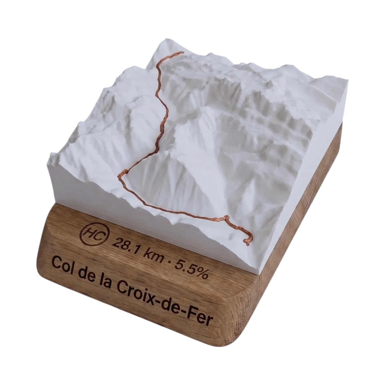 Did you climb it? Take it home. 🏆
Your true-to-scale 3D relief map — the Col de la Croix de Fer engraved on an oak plinth, customisable with your name and your time.
From 49,90 €
View 3D map →
How long does it take to go up?
Estimate based on your power-to-weight ratio (physical model, validated against real times). Indicative only.
The Col de la Croix de Fer from Saint-Jean-de-Maurienne
The north face climbs from Saint-Jean-de-Maurienne (567 m) over 26.9 km for 1,597 m of elevation gain up to the summit at 2,067 m. This is the longest climb to the pass: a steady climb at around 5–6 %, it passes through Saint-Jean-d’Arves and then Saint-Sorlin-d’Arves before the final hairpin bends.
Difficulty
Classified Unclassified, this slope is more consistent than that of the Oisans, with sections of up to ~10 %. It is the length and altitude that make this a real challenge. Best time of year: June to September.
A mainstay of the Tour de France and La Marmotte
This Maurienne slope is regularly used by the Tour de France. The Col de la Croix de Fer is also a mainstay of the cyclosportive The Marmotte.
Frequently asked questions
What is the distance from Saint-Jean-de-Maurienne?
26.9 km for 1,597 m elevation gain, averaging 5.6 %.
Which side of the Croix de Fer is the hardest?
The Maurienne is the longest slope; the one at Saint-Sorlin-d’Arves is the shortest but the steepest (8.4 %).
What is the altitude of the pass?
The peak reaches a height of 2,067 m.
Neighbouring Cols — Grandes Rousses & Maurienne
Route © OpenStreetMap contributors · Altitude © IGN RGE ALTI · Max gradient over 100 m : climbfinder.