Oisans mountain passes · Cycling
Col du Galibier
The south side runs from the Col du Lautaret, the final ramp towards the summit.
Choose your side
Slope shown below.
Live weather
Real-time · Open-Meteo. The mountain top weather often differs from the valley.
Climb profile — Col du Lautaret
Calculated from our GPX track (IGN altitude). Segments coloured according to the gradient.
Gradient kilometre by kilometre view details
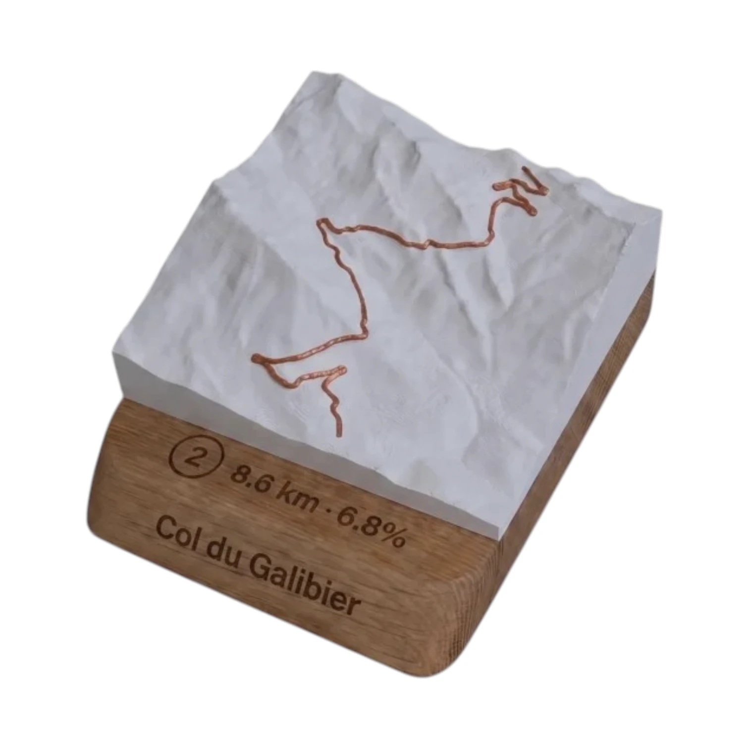 Did you climb it? Take it home. 🏆
Your exact-scale 3D relief map — Col du Galibier engraved on an oak base, customisable with your name and your time.
From 49,90 €
View 3D map →
How long does it take to go up?
Estimate based on your power-to-weight ratio (physical model, validated against real times). Indicative only.
Cycling the Col du Galibier from the Col du Lautaret
Since Col du Lautaret (2,058 m), all that remains is the final ramp you Col du Galibier : 8.4 km and 580 m of elevation gain at an average gradient of 6.9 %, all the way to the summit at 2,642 m. This is the shortest route to the top of the giant of the Alps — ideal if you’re already coming via the Romanche (Oisans) or the Guisane (Briançon) and want to add the Galibier to your day’s ride.
Difficulty
Short but challenging: the road climbs steeply as soon as you leave Lautaret and remains at around 7–8 %, with sections at 11 % in the final hairpins. Above all, it all comes down to this above 2,000 m the altitude weakens your legs and breath. Bring a cardi, it's often chilly at the top even in the middle of summer.
An iconic section
This final ramp is the shared passageway for all the slopes of the Galibier whether you come from Valloire, Saint-Michel-de-Maurienne, Bourg-d'Oisans or Briançon, everyone meets here for the final eight kilometres, under the watchful gaze of the Henri Desgrange monument.
Frequently asked questions
What is the length of the Galibier from the Lautaret?
8.4 km for 580 m elevation gain, averaging 6.9 %: the shortest slope.
Is this the easiest side?
It is the shortest, but it takes place entirely above 2,000 m: the altitude makes the effort harder than it seems.
What is the altitude of the summit?
2,642 m, one of the highest paved mountain passes in Europe.
Neighbouring cols — Romanche, Lautaret & Écrins
Route © OpenStreetMap contributors · Altitude © IGN RGE ALTI · Max gradient over 100 m : climbfinder.