Oisans mountain passes · Cycling
Col de Solude
An adventure pass above Bourg-d'Oisans: unlit tunnels and final track, to be ridden on a gravel bike or mountain bike.
Live weather
Real-time · Open-Meteo. The mountain top weather often differs from the valley.
Ascent profile — Bourg-d’Oisans (mixed route)
Calculated from our GPX track (IGN altitude). Segments coloured according to the gradient.
Gradient kilometre by kilometre view details
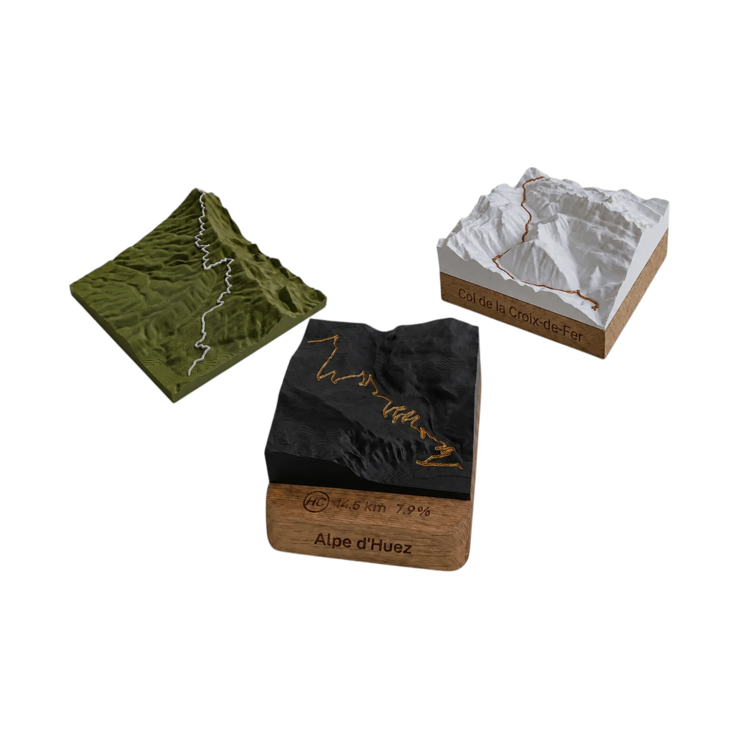 Did you climb it? Take it home. 🏆
Your exact-scale 3D relief map — Col de Solude engraved on an oak base, customisable with your name and your time.
From 49,90 €
View 3D map →
How long does it take to go up?
Estimate based on your power-to-weight ratio (physical model, validated against real times). Indicative only.
Cycling the Col de Solude from Bourg-d’Oisans
The Col de Solude (1,680 m) is one of the ascents wild and confidential in the Oisans region. Since Bourg-d'Oisans, we take the spectacular tunnel-lined road from Villard-Notre-Dame, before continuing towards the pass: 13.8 km and 1,006 m of elevation gain at an average gradient of 7 %. A timeless adventure route, offering a splendid view of the 21 bends of the Alpe d’Huez.
⚠️ A mixed-terrain route, best suited to gravel or mountain bikes
Please note: this is not not a classic mountain pass. The route passes through unlit tunnels (one lighting is essential) and ends with a track stretching for several kilometres, with sections at around 10 %. The road surface is worn in places: it’s a pleasure to drive along it gravel Where abouts Mountain biking, or as an experienced and cautious road cyclist, in fine weather.
An adventure mountain pass above Villard-Reymond
The Col de Solude overlooks the perched village of Villard-Reymond and opens up a rare panorama of the Oisans. Little known and very rarely frequented, it is a gem for lovers of wild roads and mixed terrain, a million miles away from the hustle and bustle of nearby Alpe d'Huez.
Frequently asked questions
Is the Col de Solude accessible on a road bike?
Partially only: the end is a unpaved track and the route goes through unlit tunnels. The gravel or mountain biking are recommended.
Is lighting required?
Yes, essential: the Villard-Notre-Dame tunnels are not lit.
What is the altitude of the Col de Solude?
The pass reaches an altitude of 1,680 m, above Villard-Reymond.
Neighbouring passes — South Oisans: Lignarre & perched villages
Route © OpenStreetMap contributors · Altitude © IGN RGE ALTI · Max gradient over 100 m : climbfinder.