Oisans mountain passes · Cycling
Col du Galibier
The Alpine giant at 2,642 m, from the Oisans: from Bourg-d’Oisans, you go all the way up the Romanche valley to the Col du Lautaret before the final climb.
Choose your side
Slope shown below.
Live weather
Real-time · Open-Meteo. The mountain top weather often differs from the valley.
Climb profile — Bourg-d’Oisans
Calculated from our GPX track (IGN altitude). Segments coloured according to the gradient.
Gradient kilometre by kilometre view details
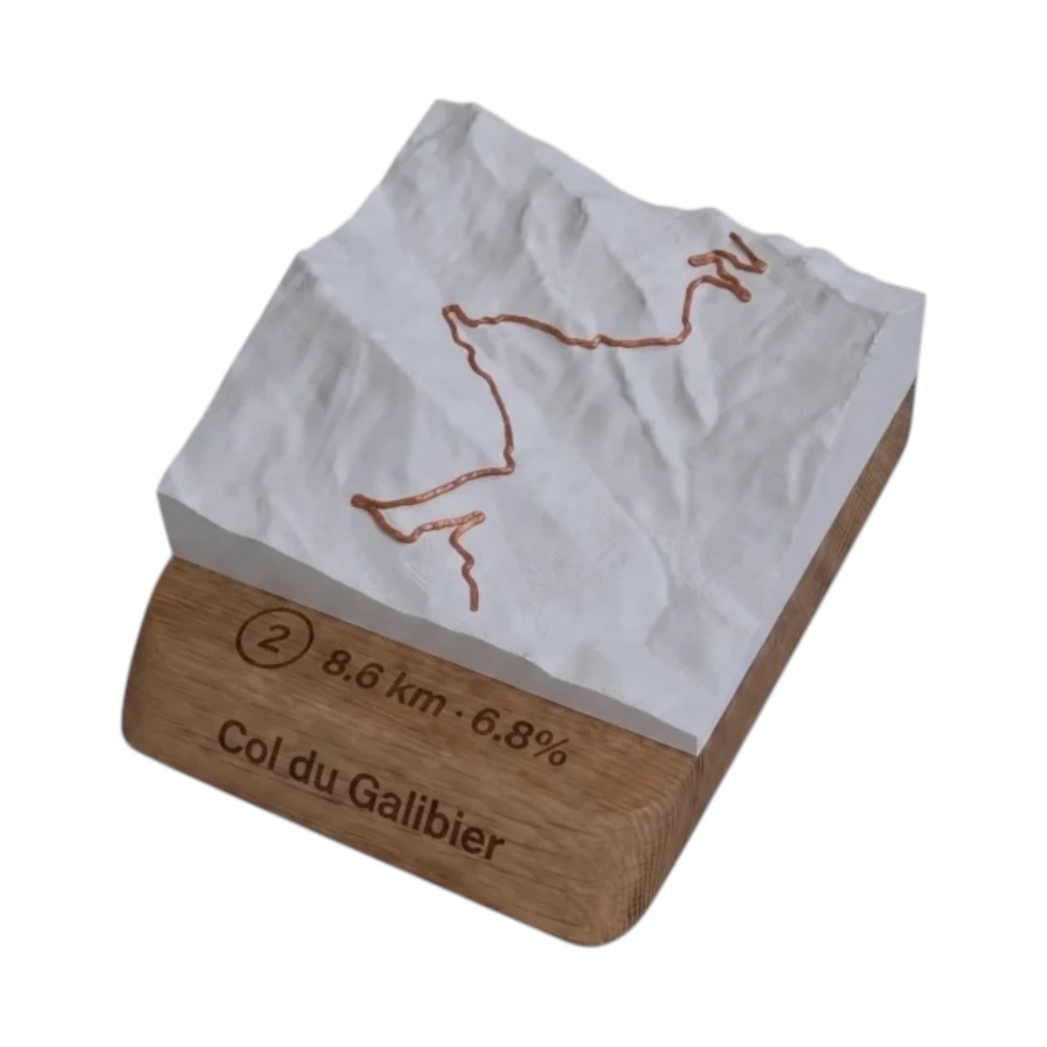 Did you climb it? Take it home. 🏆
Your exact-scale 3D relief map — Col du Galibier engraved on an oak base, customisable with your name and your time.
From 49,90 €
View 3D map →
Did you climb it? Take it home. 🏆
Your exact-scale 3D relief map — Col du Galibier engraved on an oak base, customisable with your name and your time.
From 49,90 €
View 3D map →
How long does it take to go up?
Estimate based on your power-to-weight ratio (physical model, validated against real times). Indicative only.
Cycling the Col du Galibier from Bourg-d’Oisans
Giant of the Alps 2,642 m, the Col du Galibier is one of the highest paved mountain passes in Europe. It is the only side accessible from the’Oisans since Bourg-d'Oisans, we go back up the whole valley of the Romanche — Le Freney, the Chambon reservoir, La Grave — as far as Col du Lautaret (2,058 m), before tackling the final ramp towards the summit. Allow 45.2 km and 2,076 m elevation gain 4.2 % on average: a truly epic day’s cycling, one of the longest climbs in the Alps.
Difficulty
Classified Unclassified, the Galibier combines its steep gradient (reaching ~11 % in the final few kilometres) with the difficulty of the distance and of the’altitude : above 2,000 m, the air becomes thinner and every turn of the pedals takes more effort. The long Romanche valley has a gentle gradient, but it is the climb after Lautaret — 8 km at nearly 7 % — that really separates the field. The pass is only open for part of the year, usually from June to October.
An iconic climb of the Tour de France and La Marmotte
First crossed by the Tour in 1911, the Galibier is a legendary summit, guarded by the Henri Desgrange monument. From the Oisans, it forms the penultimate difficulty of The Marmotte before the descent towards Bourg-d’Oisans and l’Alpe d’Huez. It can also be climbed from Valloire, Saint-Michel-de-Maurienne, the Col du Lautaret or Briançon — see the climbs above.
Frequently asked questions
What is the altitude of the Col du Galibier?
The peak reaches a height of 2,642 m, one of the highest paved mountain passes in the Alps.
How many kilometres is it to climb the Galibier from Bourg-d’Oisans?
45.2 km for 2,076 m elevation gain, averaging 4.2 %, as we climb up the entire Romanche valley and then up the Col du Lautaret.
How to climb the Galibier from the Oisans?
Via the Romanche valley and then the Col du Lautaret, before the final 8 km climb. This is the only access from the Oisans side.
When is the Col du Galibier open?
Generally from June to October, depending on snow clearance. Check the weather at the summit before leaving: it can snow even in summer.
Neighbouring cols — Romanche, Lautaret & Écrins
Route © OpenStreetMap contributors · Altitude © IGN RGE ALTI · Max gradient over 100 m : climbfinder.