Oisans mountain passes · Cycling
Col du Galibier
The northern slope from Valloire, the one most frequently used by the Tour de France.
Choose your side
Slope shown below.
Live weather
Real-time · Open-Meteo. The mountain top weather often differs from the valley.
Climb profile — Valloire
Calculated from our GPX track (IGN altitude). Segments coloured according to the gradient.
Gradient kilometre by kilometre view details
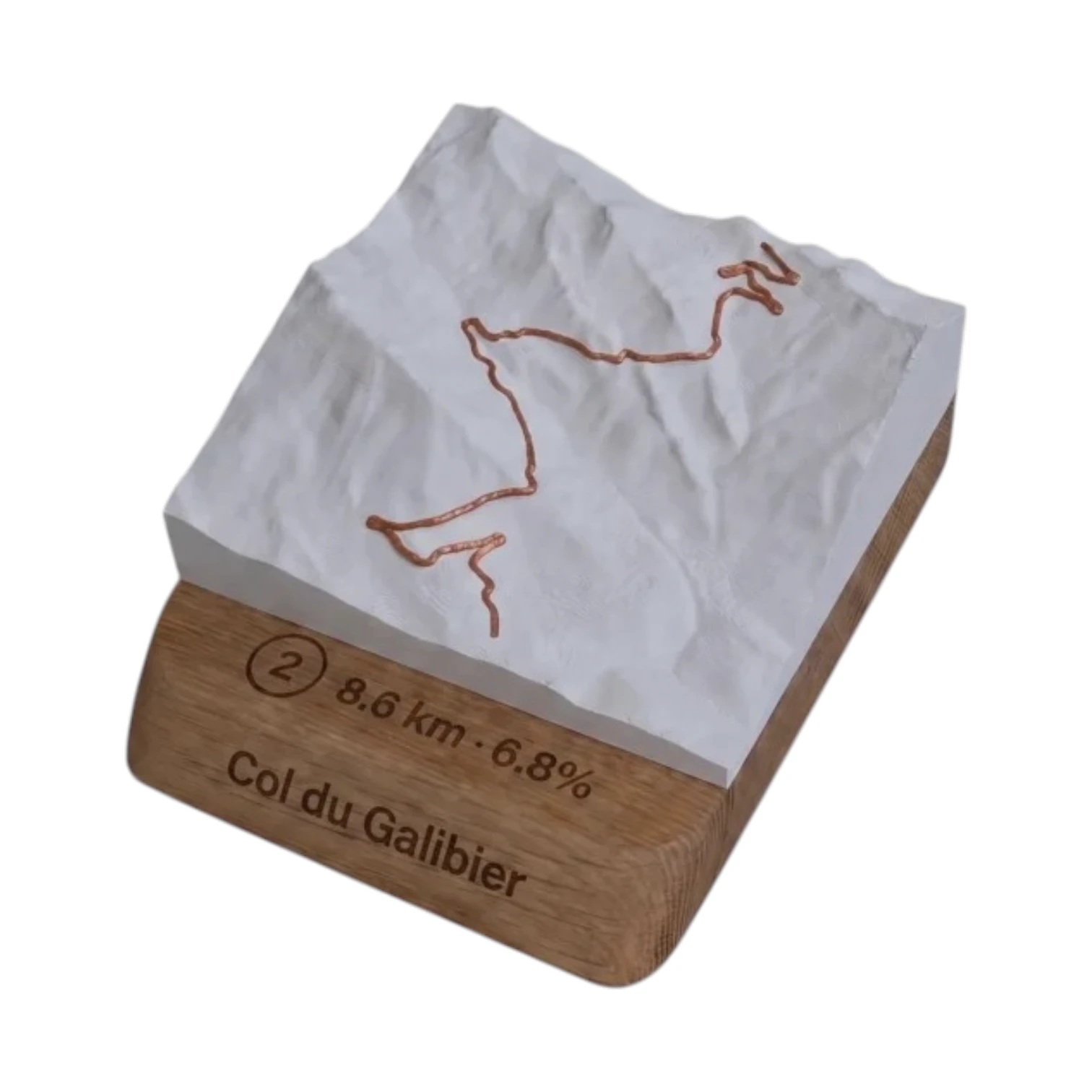 Did you climb it? Take it home. 🏆
Your exact-scale 3D relief map — Col du Galibier engraved on an oak base, customisable with your name and your time.
From 49,90 €
View 3D map →
How long does it take to go up?
Estimate based on your power-to-weight ratio (physical model, validated against real times). Indicative only.
Cycling the Col du Galibier from Valloire
Since Valloire, the northern slope of the Col du Galibier is the most borrowed by the Tour de France : 17.5 km and 1,238 m of elevation gain at an average gradient of 7.1 %, up to the summit at 2,642 m. The first few kilometres of rolling terrain follow the Valloirette valley up to Plan Lachat, where the road dips and takes on the sweeping final hairpins which become noticeably steeper.
Difficulty
Classified Unclassified, this slope combines a steep gradient (up to ~10 % at the top) and the’altitude (2,642 m). The climb gets tougher from Plan Lachat: save some energy for the final five kilometres, which are the most demanding, where the air thins. Best period: from June to October, when the pass is clear of snow.
Telegraph, Valloire, Galibier
Valloire is the tipping point of the legendary sequence Telegraph-Galibier the riders climbing from Saint-Michel-de-Maurienne first cross the Télégraphe, descend to Valloire, and then set off again towards the Galibier. From the summit, the road plunges down to the Col du Lautaret and opens access to the’Oisans.
Frequently asked questions
What is the length of the Galibier from Valloire?
17.5 km for 1,238 m elevation gain, averaging 7.1 %.
Where is the hardest section?
After Plan Lachat : the final five kilometres climb to around 10 %, at an altitude of over 2,000 metres.
What is the altitude of the summit?
2,642 m, one of the highest paved mountain passes in Europe.
Neighbouring cols — Romanche, Lautaret & Écrins
Route © OpenStreetMap contributors · Altitude © IGN RGE ALTI · Max gradient over 100 m : climbfinder.